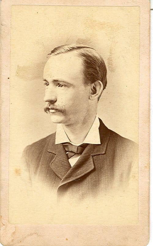
The Anderson County Museum will open a new exhibit on January 13, with a reception held from 5:00 pm to 6:30 pm, as part of the Anderson International Festival. The country of focus is Germany, and Anderson County has a unique historical connection via John Henry von Hasseln. To attend the reception, please RSVP by Monday, January 10, by calling (864) 964 -6556 or emailing bchilds@andersoncountysc.org. The exhibit will be open until March 31.
What does it mean to be a first generation immigrant? For John Henry von Hasseln and millions like him, it meant risking everything for the chance at a different life and new opportunities. John grew up in Geestemünde, a rather new settlement in the Hanover Kingdom of Germany at the time of his birth in 1854. Geestemünde would become known as a crucial port and fishing village in Germany by the late 19th century, but von Hasseln sought out something he hoped would be better. He was driven to leave his home for America by growing political turmoil in the wake of the Prussian annexation in 1866.

John’s voyage in 1871 was not an easy one. He traveled alone at merely 17 years of age on what should have been an eight to 12 day trip across the Atlantic. However, family oral tradition maintains that J. H. von Hasseln sailed across rather than taking an engine powered liner. This means that his trip likely took several weeks while also contending with the increased vulnerability of a smaller vessel.
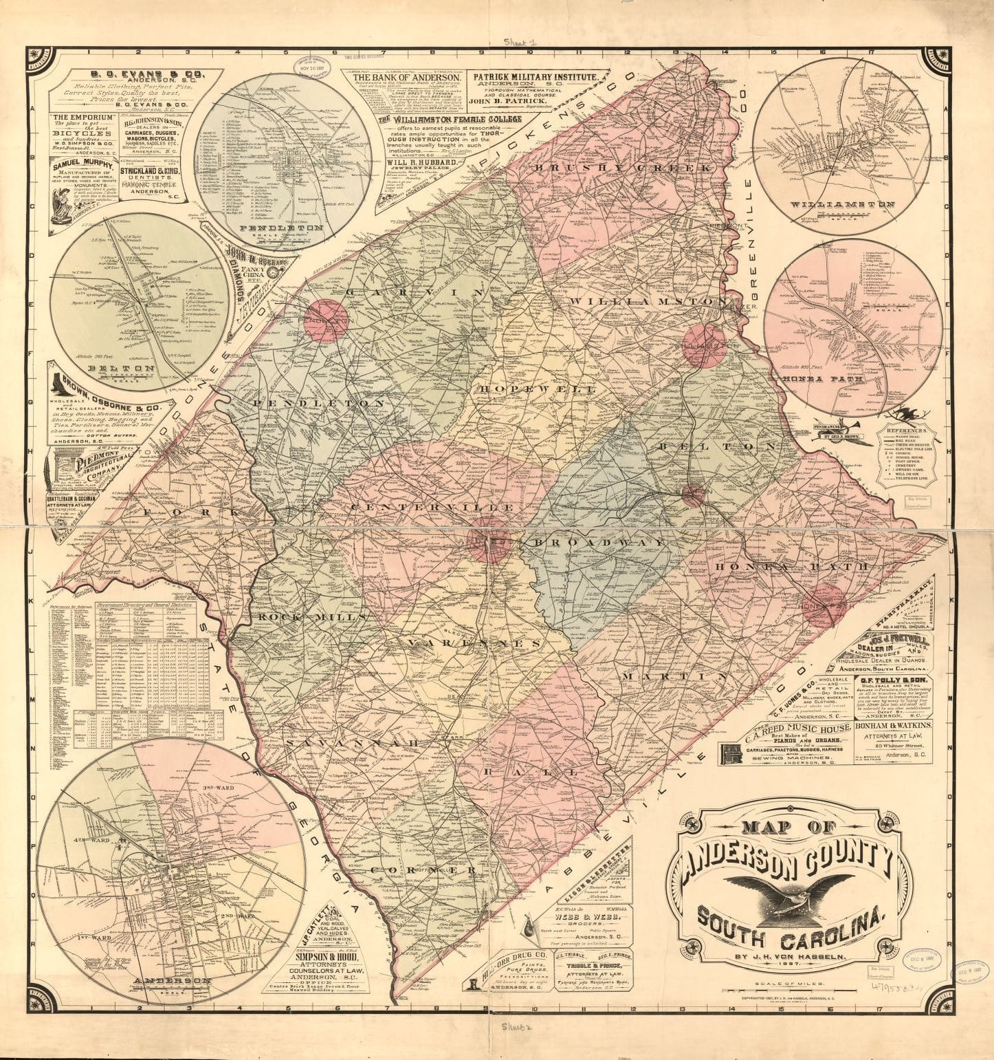
J. H. von Hasseln arrived in Charleston, SC in 1871, but moved to Abbeville to relieve a case of yellow fever that struck him. He lived in Anderson, SC by the time of the 1880 census where he worked some time for Bleckley, Brown & Fretwell, a mercantile establishment. He married Julia Rebecca Webb in 1881 with whom he would have five children. John also worked in accounting and insurance, but his longest lasting contribution to Anderson County history came from his cartography skills.
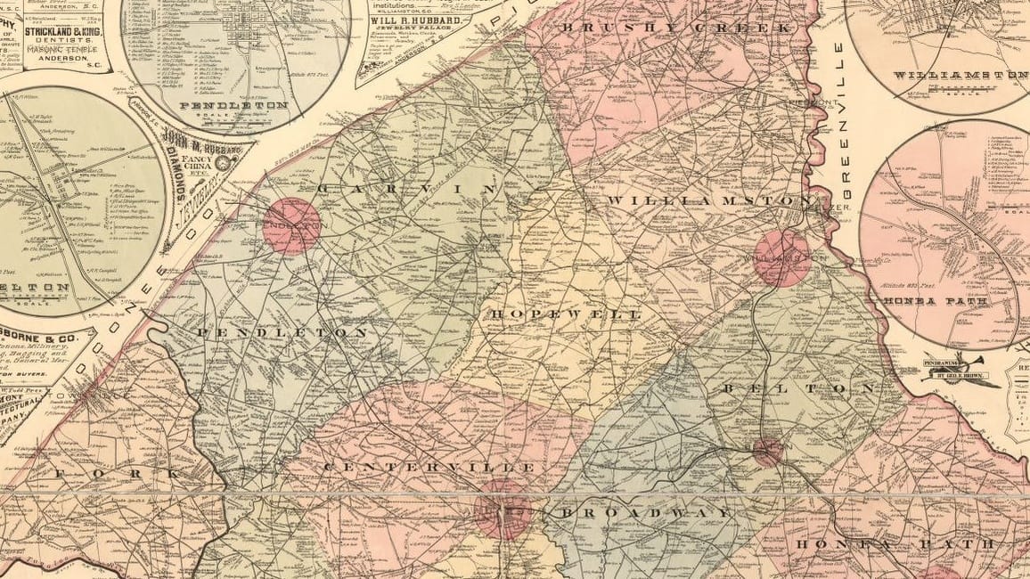
Von Hasseln contributed to the 1877 map of Anderson County, and also produced the 1897 version which became known as “the von Hasseln map.” The map itself holds vital information including the locations of rivers, creeks, post offices, churches, and other points of interest, as well as the names of large landowners and the basic layouts of the main towns. Creating a map of this scale and detail in the late 1800s was an arduous task without the use of modern conveniences like GPS or aerial photography.
 Creation of a map involved precise measurement and meticulous record keeping. Distances, elevations, and cardinal orientation could be determined by a process called triangulation. This uses known information about the positions of two points to calculate the same information about a third point. With careful calculation, J. H. von Hasseln created a snapshot of Anderson County at a particular time. His work has been used ever since as a resource for historians and researchers in a countless number of ways.
The new exhibit will investigate the next generations of von Hasselns as well, mainly two beloved Anderson College (now University) professors. Jefferson Webb von Hasseln and his son, Henry, would each become respected academics in the fields of music and history, and would make their own marks on Anderson.
About the Author

Curator of the Anderson County Museum since the summer of 2015, Dustin Norris holds a Master of Arts in History. His academic interest has always centered on Southern and Appalachian history, especially as it is represented in popular culture. His work at the museum allows Dustin to bring stories of Anderson County’s past to the residents of the present in an effort to preserve history, engage the community, and promote a culture of learning. In his time away from work, Dustin enjoys playing bluegrass and old time music or spending time outdoors.
John Henry von Hasseln and Anderson County map images courtesy of Anderson County Museum.


